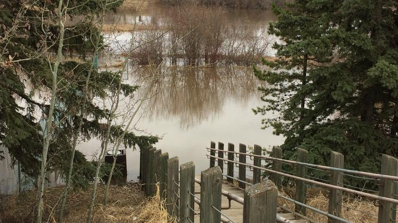
Flooding on the reservoir in Muskoseepi Park in April of 2018. Photo by Curtis Galbraith.
Alberta
Province starts flood map studies for Rycroft, Chateh
Apr 10, 2025 | 6:00 AM
-
Share on Facebook
-
Share on Bluesky
-
Share on X
- Copy Link
The province says it has started seven new flood map studies for communities around Alberta.
That includes Rycroft and Chateh.
The government says the work will start right away and should be finished by the end of 2026.
A release from the province says these maps keep people safe and help with responses to emergencies. They can also be used in decisions on development.