STAY CONNECTED: Have the stories that matter most delivered every night to your email inbox. Subscribe to our daily local news wrap.
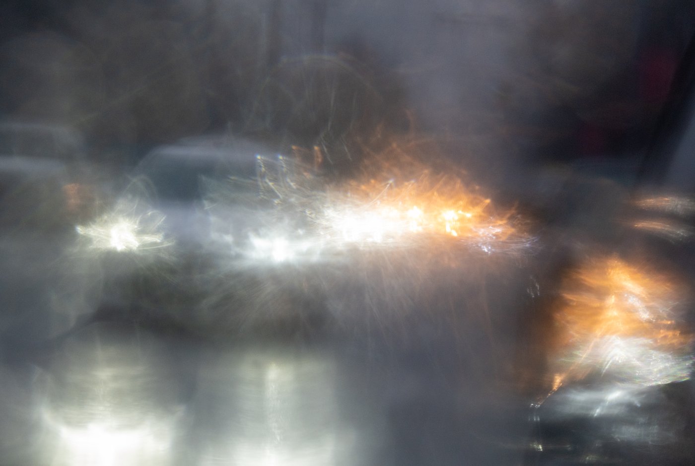
Traffic is reflected in a rain covered car mirror as cars move through heavy rain in Vancouver, Wednesday, Jan. 12, 2022. THE CANADIAN PRESS/Jonathan Hayward

Rain hammering B.C. south coast may taper, but more on the way: meteorologist

Nov 11, 2026 | 3:10 AM

VANCOUVER — Drenching rain that has been soaking southern British Columbia for days could ease today — but the reprieve might be short-lived, with yet another storm system on the way.

Environment Canada meteorologist Michael Gismondi says there will be a possible lull this morning before the rain is expected to re-intensify later.

It’s part of a series of atmospheric river systems that have been battering the coast this week, and Gismondi says the wet conditions are expected to persist into the weekend.

Orange rainfall warnings that were raised by Environment Canada on Monday remain in place for Howe Sound and the Sea to Sky regions, with upwards of 160 millimetres of rain predicted, as well as western and inland Vancouver Island, where amounts could top 250 millimetres.

The weather office also warns residents of central B.C. that a “strong and slow-moving” system is bringing damaging winds, with gusts reaching around 100 kilometres an hour in some areas, before easing tonight.

It says utility outages are likely and driving may be difficult as there is risk of injury due to falling debris.

B.C.’s Transportation Ministry is also urging drivers to monitor conditions and prepare for high winds, heavy rainfall and possible flooding in southern coastal regions for the rest of the week.

Flood watches continue to cover much of Vancouver Island and the South Coast.

On Tuesday, British Columbia’s River Forecast Centre issued high streamflow advisories for southern Vancouver Island and the Fraser Valley.

This report by The Canadian Press was first published Nov. 11, 2026.

The Canadian Press