Data is being collected to create water sources map for rural firefighting efforts
-
Share on Facebook
-
Share on Bluesky
-
Share on X
- Copy Link
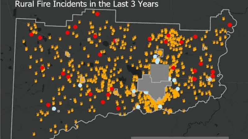
A new interactive map will help firefighters in the county locate nearby water sources.
The County of Grande Prairie Regional Fire Service has spent the past two months collecting data on high-risk fire areas, and water resources that could be used when responding to an emergency in those rural areas.
The map mainly focuses on stand pipes, which are the easiest to use for providing water in fire fighting efforts. While having access to stand pipes are ideal, Fire Chief Dan Verdun says they aren’t absolutely necessary.
“We do supplement all of this. So the stand pipes are great, and they identify water sources that are static in the ground. We have equipment capabilities through tender shuttles and those things that allow us to take water, even to those areas that are currently identified as a little bit more remote, and we have a vast amount of resources that allow us to do that.”