STAY CONNECTED: Have the stories that matter most delivered every night to your email inbox. Subscribe to our daily local news wrap.
14th driest on record

Grande Prairie marked sixth warmest July last month following warmest June

Aug 7, 2021 | 9:28 AM

Grande Prairie marked the sixth warmest July on record last month, which follows behind the city’s warmest June ever recorded.

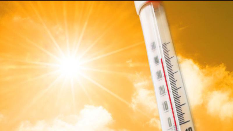
The city has seen a plethora of days over the last two months reach at least 30 degrees Celsius. Environment Canada Meteorologist Kyle Fougere says in a typical summer in Grande Prairie, there are three days on average that hit at or above 30 degrees.

“It looks like this year there have been at least 12 days so far that have been above 30, with three in August alone… so it has been particularly warm.”

For the month of July in Grande Prairie, Fougere says the average mean temperature was 17.6 degrees (factoring in overnight lows), compared to an average mean temperature for July of 16.2 degrees Celsius.

He adds the hot summer has brought with it some very dry conditions.

FROM JUNE: Reaching 41.5 degrees Tuesday, Grande Prairie sets all-time temperature record

“When we go to precipitation, it’s a very similar story… it was dry. We received only 29.4 millimeters of precipitation this July, versus 76.1 mm on average (for July).”

Fougere says this July in Grande Prairie marked the 14th driest July on record. He says this follows closely behind a dry June, where the city had its third driest June ever, receiving only 8.2 millimeters of rain, compared to 75 mm on average.

“Unfortunately June and July are the two wettest months on average during the year, so having missed out on a lot of that precipitation we don’t expect as much over the next three months,” said Fougere.

“It would basically have to be well above normal to get back to a normal year because precipitation has just been so minimal over the past two months.”

Fougere says residents in Grande Prairie can expect a below-average weekend for temperatures in the city, although he says the below normal temperatures are not expected to last long.

“By the time we reach Monday, temperatures are going to rebound into the high 20’s and the forecast for the next three months is to remain above average for temperatures but near normal for precipitation.”

The average temperature through the first six days of August currently sits at 20.7 degrees, while just 0.8 mm of rain has been recorded.